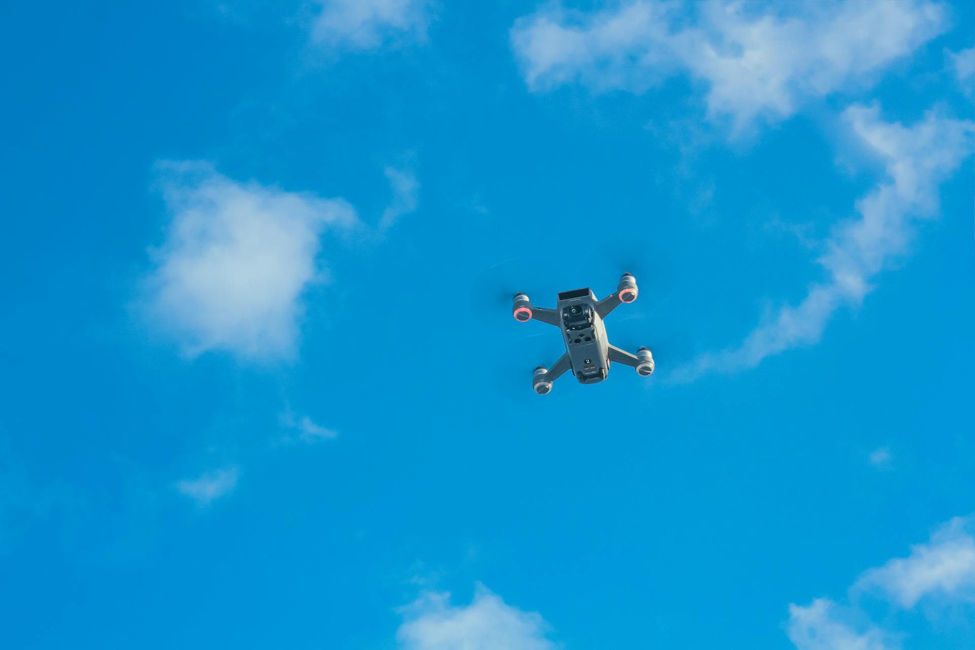
The DJI Phantom 4 RTK is a powerful tool for mapping and surveying, and one of its standout features is its advanced flight planning and precision navigation capabilities.
The Phantom 4 RTK can reach speeds of up to 45 mph and fly for up to 30 minutes, giving you plenty of time to capture the data you need.
This means you can cover more ground and get more accurate results, which is especially important for applications like surveying and mapping.
One of the key features of the Phantom 4 RTK's flight planning system is its ability to generate accurate flight routes and avoid obstacles, ensuring a safe and efficient flight.
For your interest: Dji Phantom 4 Rtk for Sale
Key Features
The DJI Phantom 4 RTK has a built-in RTK module that delivers real-time centimeter-level positioning.
This feature allows for precise flight planning and navigation, making it ideal for mapping and surveying applications.
Equipped with a 1-inch, 20-megapixel CMOS sensor, the Phantom 4 RTK captures detailed imagery with a ground sample distance of 2.74 cm at 100 meters flight altitude.
You might like: Dji - Mini 2 Se Drone with Remote Control
This level of detail is perfect for creating accurate maps and models of the terrain.
Its optimized data collection capability facilitates Post Processed Kinematics (PPK) for enhanced data analysis.
This means you can get more accurate results from your data, which can be a game-changer for professionals in the industry.
Benefits and Applications
The DJI Phantom 4 RTK is an incredibly versatile tool, offering a range of benefits and applications across various industries.
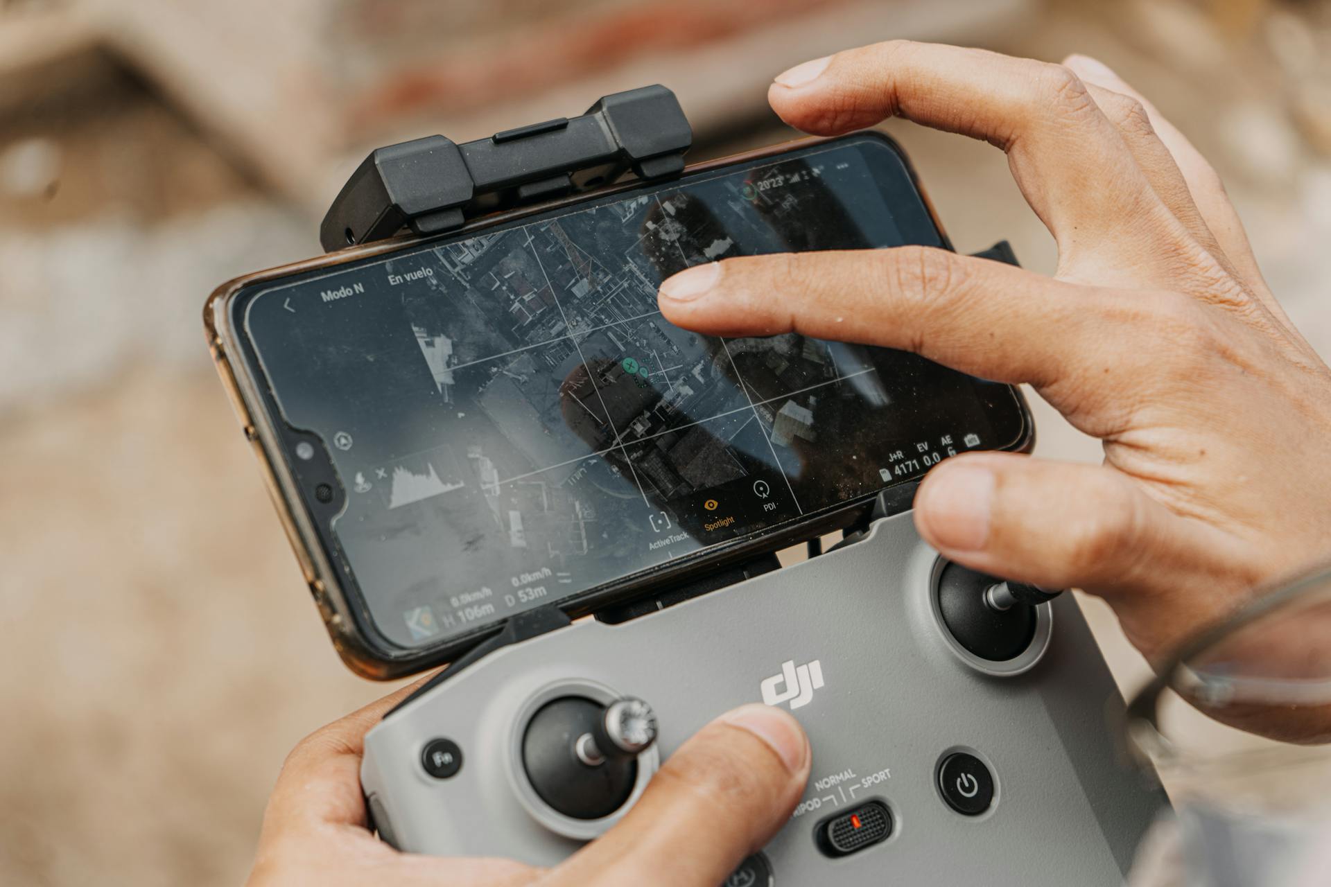
Its purpose-built application, the GS RTK app, allows pilots to intelligently control their Phantom 4 RTK with multiple planning modes, including Photogrammetry (2D and 3D), Waypoint Flight, and more.
The Phantom 4 RTK's operating frequency and transmission power make it suitable for use in various environments, including Europe, Japan, and the United States.
It can transmit data up to 4.3 miles (7 km) in the United States, and 3.1 miles (5 km) in other regions, making it a reliable choice for long-range data collection.
Take a look at this: Dji Phantom 3 Range
The drone's advanced features, such as its built-in RTK module and 1-inch, 20-megapixel CMOS sensor, enable real-time centimeter-level positioning and capture detailed imagery.
The Phantom 4 RTK's high-precision aerial photography and 3D mapping capabilities are made possible by its integrated RTK module, real-time centimeter-level positioning data, and GNSS module.
This allows for more accurate data collection and analysis, making it an ideal tool for complex assessment, mapping, and verification workflows.
Here are some of the industries and applications where the DJI Phantom 4 RTK can be used:
- Surveying: precise land measurements and topographic data
- Agriculture: monitoring crop health and precision farming practices
- Construction: site surveys and rapid mapping for urban development
- Emergency response: rapid mapping and data collection
The Phantom 4 RTK's advanced features and capabilities make it a valuable tool for professionals in these industries, offering greater efficiency and accuracy than ever before.
Specifications and Features
The DJI Phantom 4 RTK is a powerful and precise drone designed for mapping and data collection. It's equipped with a built-in RTK module that delivers real-time centimeter-level positioning.
The Phantom 4 RTK features a 1-inch, 20-megapixel CMOS sensor that captures detailed imagery with a ground sample distance of 2.74 cm at 100 meters flight altitude. This means you can get high-quality images without the need for extensive post-processing.
Expand your knowledge: Dji Phantom 4 Rtk Remote Id
The drone's optimized data collection capability facilitates Post Processed Kinematics (PPK) for enhanced data analysis. This makes it ideal for applications like surveying, mapping, and monitoring.
The Phantom 4 RTK has a precise imaging system that uses a mechanical shutter to prevent rolling shutter blur. This allows you to capture smooth and clear images even when the drone is in motion.
The drone's camera lens undergoes a rigorous calibration process to ensure accurate results. The distortion parameters are saved into each image's metadata, allowing for precise adjustments during post-processing.
The Phantom 4 RTK can achieve a ground sample distance (GSD) of 2.74 cm at 100 meters flight altitude. This is due to its high-resolution 20-megapixel CMOS sensor.
The drone's GNSS system is a single-frequency, high-sensitivity module that uses GPS, GLONASS, Galileo, and BeiDou signals. This provides fast and accurate positioning, with a first-fixed time of less than 50 seconds.
Here are the Phantom 4 RTK's GNSS specifications:
Flight Planning and Design
The DJI Phantom 4 RTK's flight planning and design features make it a breeze to use, even for those new to drone technology. You can learn the basics in just a few minutes.
The GS RTK application is designed specifically for the drone and offers two planning modes: photogrammetric and designated-route flight.
With the application, you can specify a wide range of settings, including the ratio of overlaps, height, and parameters for taking photos. This level of customization is incredibly useful for getting the best results from your drone.
Here are some of the key features you can expect from the GS RTK application:
- Easy to use
- Two planning modes: photogrammetric and designated-route flight
- Wide range of settings, including overlap ratio, height, and photo parameters
- DJI Mobile SDK support for third-party applications and personalized automated features
- Ability to insert KML/KMZ files for optimized assessment
Simple Flight Planning and Design
Simple flight planning and design is made easy with the GS RTK application, designed specifically for drones. It can be learned in just a few minutes.
The application offers two planning modes: photogrammetric and designated-route flight. This flexibility allows you to tailor your flight planning to your specific needs.
You can specify a wide range of settings, including the ratio of overlaps, height, and parameters and speed of taking photos. This level of customization is ideal for capturing the perfect shot.
To optimize your assessment, you can insert KML/KMZ files into the application. This feature helps you streamline your workflow and get the most out of your drone.
The DJI Mobile SDK also supports third-party applications and allows you to create personalized automated features. This opens up a world of possibilities for customizing your drone's capabilities.
TimeSync Alignment
TimeSync Alignment is a game-changer for flight planning and design. It's built into the operating system and continually aligns the flight controller, camera, and RTK module.
This ensures improved accuracy by fixing positioning data to the center of the 1-inch, 20MP CMOS sensor. The image employs optimization of photogrammetric methods to achieve centimeter-level positioning.
By using the most accurate metadata, TimeSync provides a solid foundation for precise flight planning and execution. This level of accuracy is crucial for capturing high-quality data and achieving project goals.
The 1-inch, 20MP CMOS sensor is a key component of TimeSync's alignment process. Its high resolution and accuracy enable the system to fix positioning data with precision.
On a similar theme: Dji Inspire 1 Uav
Precision and Accuracy
The DJI Phantom 4 RTK is a powerful tool for precision mapping and surveying. The drone features a high-quality and accurate imaging system with a standard 1" CMOS sensor, mechanical shutter for blur-free photos, and lenses that undergo a rigorous calibration process for unparalleled accuracy.
The Phantom 4 RTK's TimeSync system ensures each photo uses the most accurate metadata and fixes the positioning data to the optical center of the lens, optimizing results from photogrammetric methods and achieving centimeter-level positioning data.
The drone's precision mapping capabilities are further enhanced by its centimeter-level positioning system, which provides real-time, centimeter-level positioning data for improved absolute accuracy on image metadata. This system is made possible by the integration of a new RTK module directly into the Phantom 4 RTK.
The Phantom 4 RTK's imaging system can capture photos with a maximum image resolution of 4864×3648 (4:3) / 5472×3648 (3:2) and video with a maximum resolution of 4K 3840×2160 (30fps, H.264).
Here are the key features of the Phantom 4 RTK's imaging system:
- 1" CMOS sensor
- Mechanical shutter for blur-free photos
- Lenses undergo rigorous calibration process for unparalleled accuracy
- 2.74cm per-pixel accuracy at 100 meters’ flight altitude
- Parameters can be saved in image metadata, facilitating software-based post-processing
- Detailed ISO setup options
- Maximum image resolution: 4864×3648 (4:3) / 5472×3648 (3:2)
- Maximum video resolution: 4K 3840×2160 (30fps, H.264)
The Phantom 4 RTK's precision and accuracy make it an ideal tool for professionals in various sectors, including agriculture, construction, surveying, and rapid mapping.
Compatibility and Integration
The DJI Phantom 4 RTK is designed to be a versatile and compatible drone, making it easy to integrate with other devices and software.
You can use the D-RTK 2 Mobile Station to support your Phantom 4 RTK missions, providing real-time differential data and forming an accurate surveying solution.
The Phantom 4 RTK is cross-compatible with Phantom 4 Pro batteries, so you can use them interchangeably without affecting flight time.
The DJI Mobile SDK allows you to automate and customize the Phantom 4 RTK's functions through a mobile device, giving you more control over your drone.
The Phantom 4 RTK can be used with a variety of third-party applications, thanks to the SDK Remote Controller, which lets you access the world's leading drone app ecosystem.
You can connect the D-RTK Mobile Work Station anywhere, in any workflow, and it provides information, including high wind alerts, that increases accuracy.
The D-RTK Mobile Work Station supplies the Phantom 4 RTK with real-time differential data, and it facilitates continuous data flow using the NTRIP protocol.
The Phantom 4 RTK propellers are compatible with the Phantom 4 Pro, so you can use the same propellers on both drones.
The Phantom 4 RTK battery icon turns yellow in the app when the voltage of the battery cell is below 3.62V, indicating that the battery needs to be charged soon.
It takes roughly 60 minutes to fully charge a Phantom 4 RTK battery, and it's recommended to charge it to 50% or above for long-term storage.
You should keep the Phantom 4 RTK batteries in a dry place away from water, and discharge them every three months to maintain activity.
The battery capacity of the Phantom 4 RTK will sharply decrease in low temperatures (< -10°C), so it's recommended to heat the batteries to 20°C before flight to limit this effect.
Broaden your view: Dji Phantom 3 Batteries
Frequently Asked Questions
Is the Phantom 4 RTK discontinued?
Yes, the Phantom 4 RTK has been discontinued by its manufacturer. This means it's no longer available for purchase, but you can still find more information on its features and capabilities.
What is the difference between Phantom 4 and Phantom 4 RTK?
The Phantom 4 RTK is designed for industrial users, while the Phantom 4 is geared towards professional photographers and hobbyists. Key differences lie in their precision mapping capabilities and data acquisition features.
What does DJI RTK stand for?
DJI RTK stands for DJI Real-Time Kinematics, a technology that enables precise satellite positioning. This innovative feature is designed to provide accurate results to the centimeter level.
Featured Images: pexels.com


